Loading
STR Labs is a NABL and ISO certified testing laboratory providing reliable geotechnical investigation, material testing, NDT services, surveying, and research solutions for infrastructure and construction projects.
GIS Survey (Drone / Radar / DGPS)
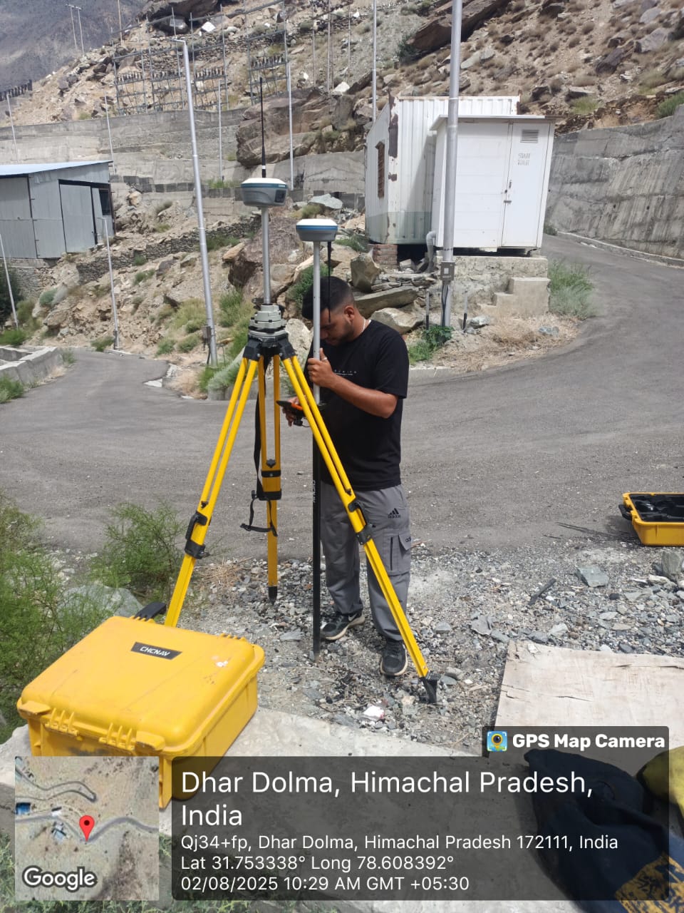
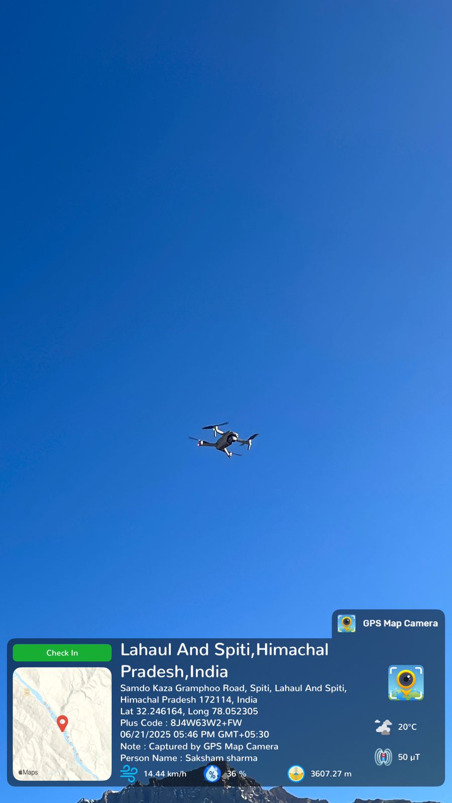
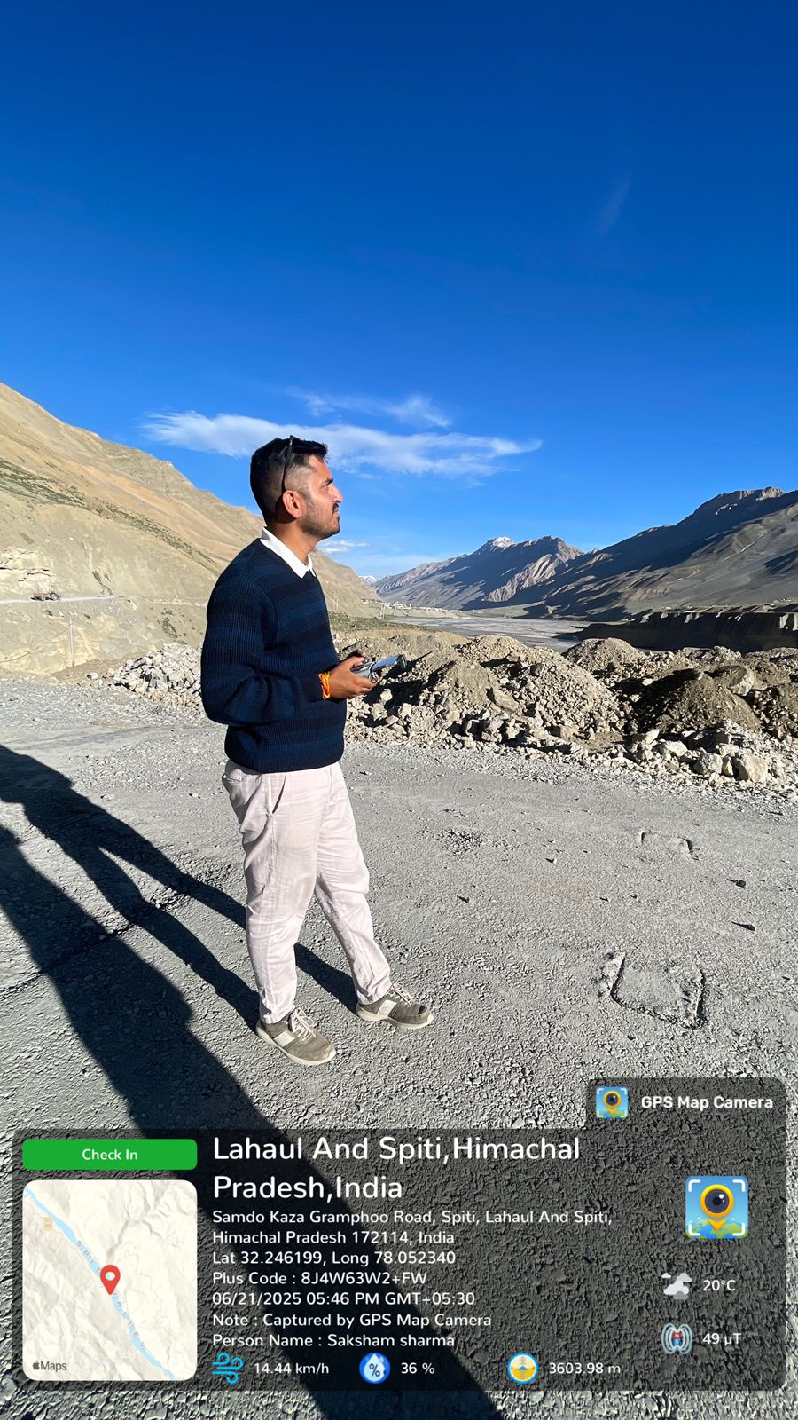
GIS Survey services using Drone, Radar, and DGPS technologies play a vital role in accurate data collection, mapping, and analysis for infrastructure and development projects. At STR Labs, we deliver high-precision geospatial survey solutions that support planning, design, and execution across varied terrains and site conditions.
Our services include drone-based aerial surveys, DGPS surveys, radar-assisted subsurface and terrain mapping, route surveys, and site mapping. These surveys capture detailed spatial data such as ground elevations, contours, alignments, surface features, and positional coordinates with high accuracy and efficiency.
Advanced Geographic Information System (GIS) techniques are integrated with survey data to generate digital maps, spatial databases, and analytical models. GIS-based analysis enables effective visualization, terrain modeling, contour generation, cross-section profiling, and decision-making for roads, bridges, pipelines, urban development, and large-scale infrastructure projects.
All GIS surveys are conducted using modern equipment, including unmanned aerial vehicles (UAVs), DGPS systems, radar instruments, and total stations, ensuring reliable and consistent results. Survey outputs are delivered in standardized digital formats compatible with engineering and design software, helping minimize design risks, improve project efficiency, and support informed infrastructure development.